
AERIAL & DRONE SERVICES

Aerial & Drone Photography That Elevates Your Vision
See Your Project from a New Perspective
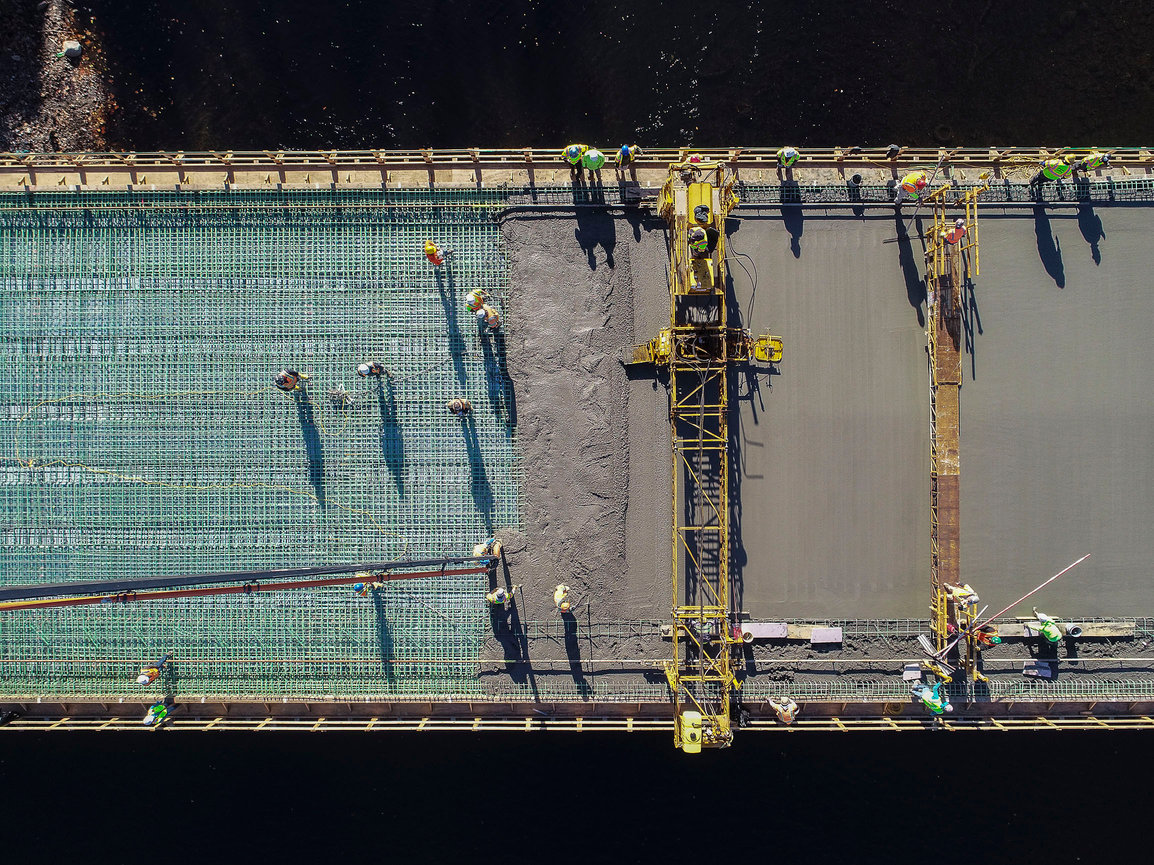
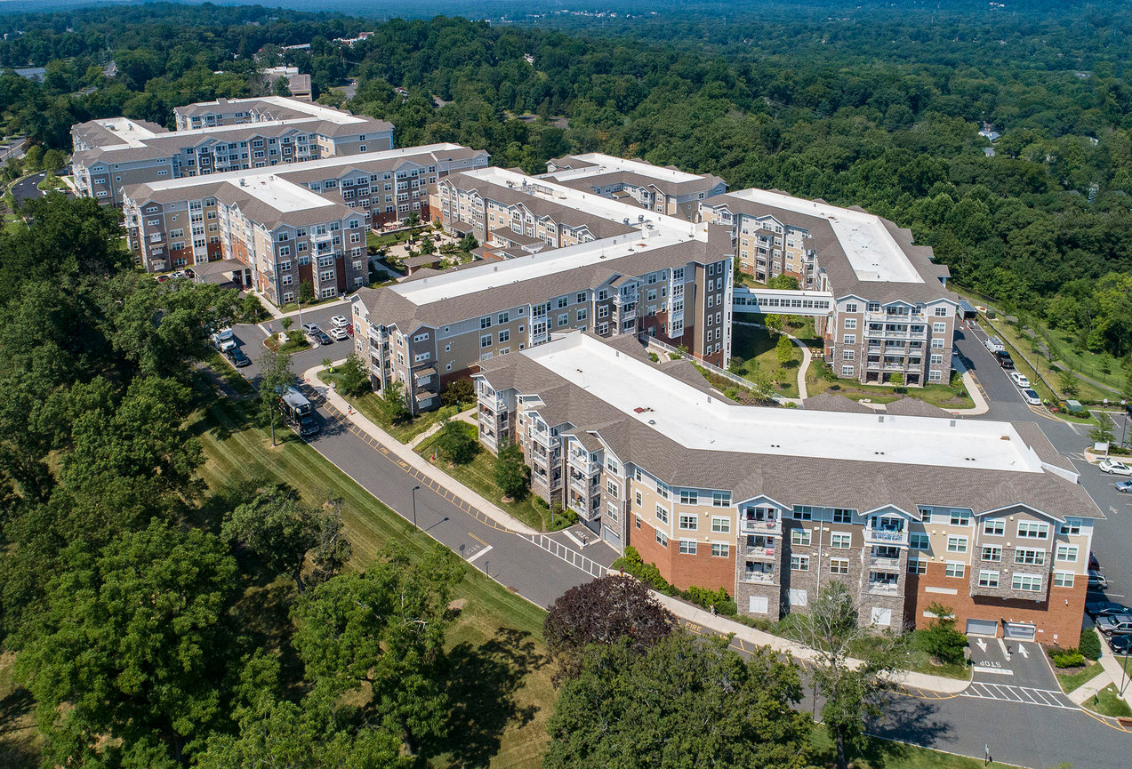
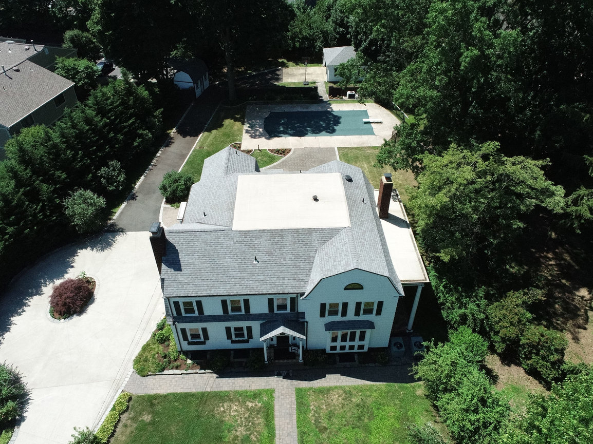
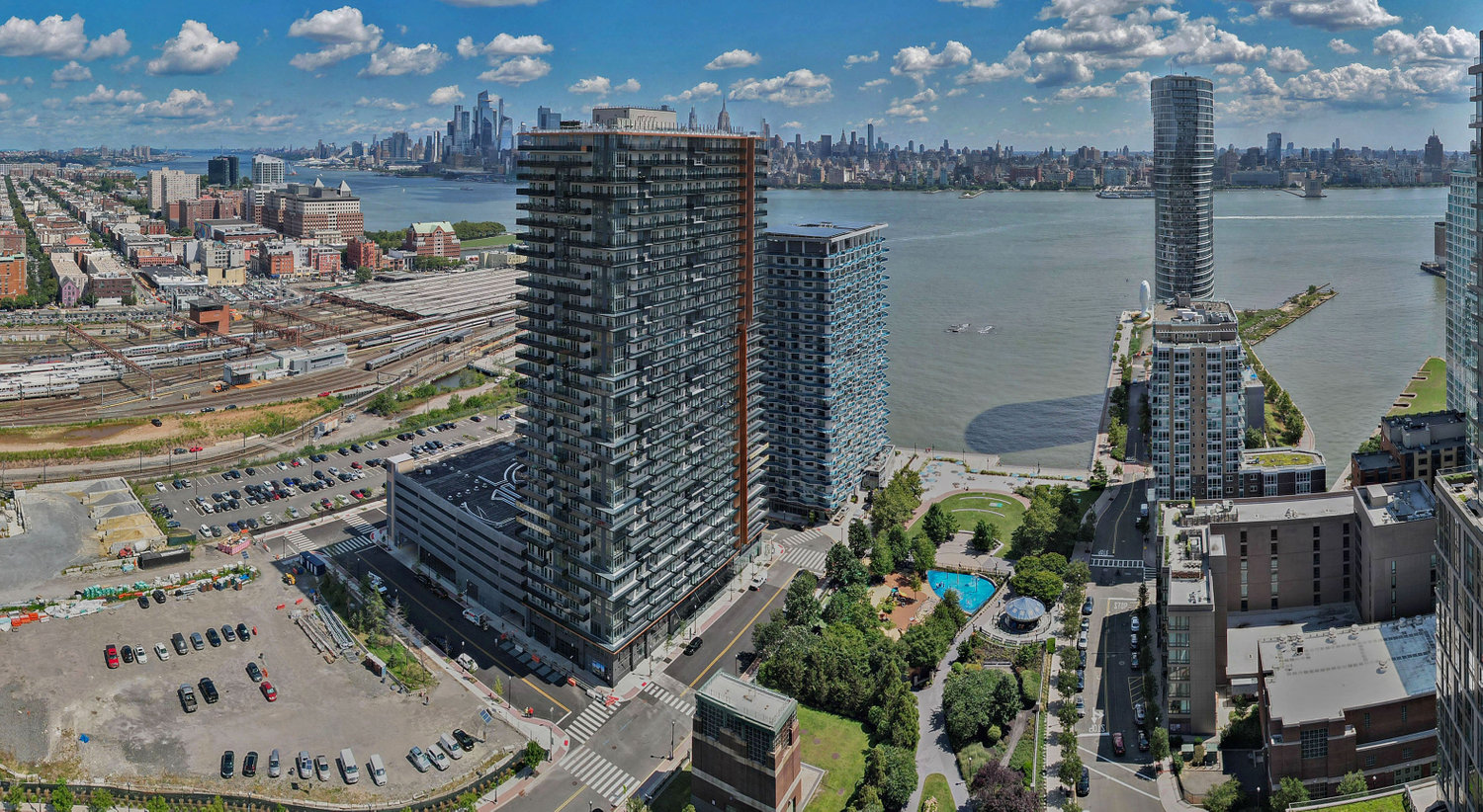
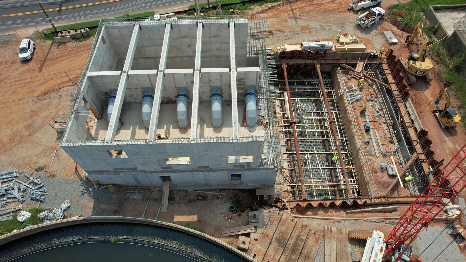
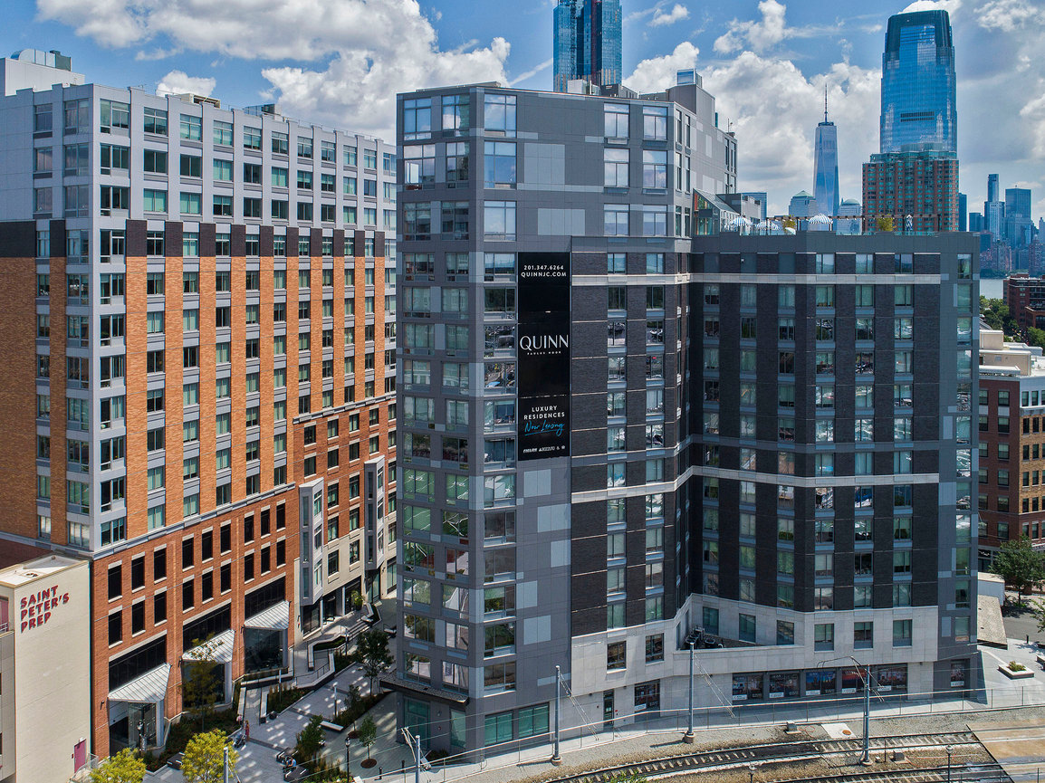
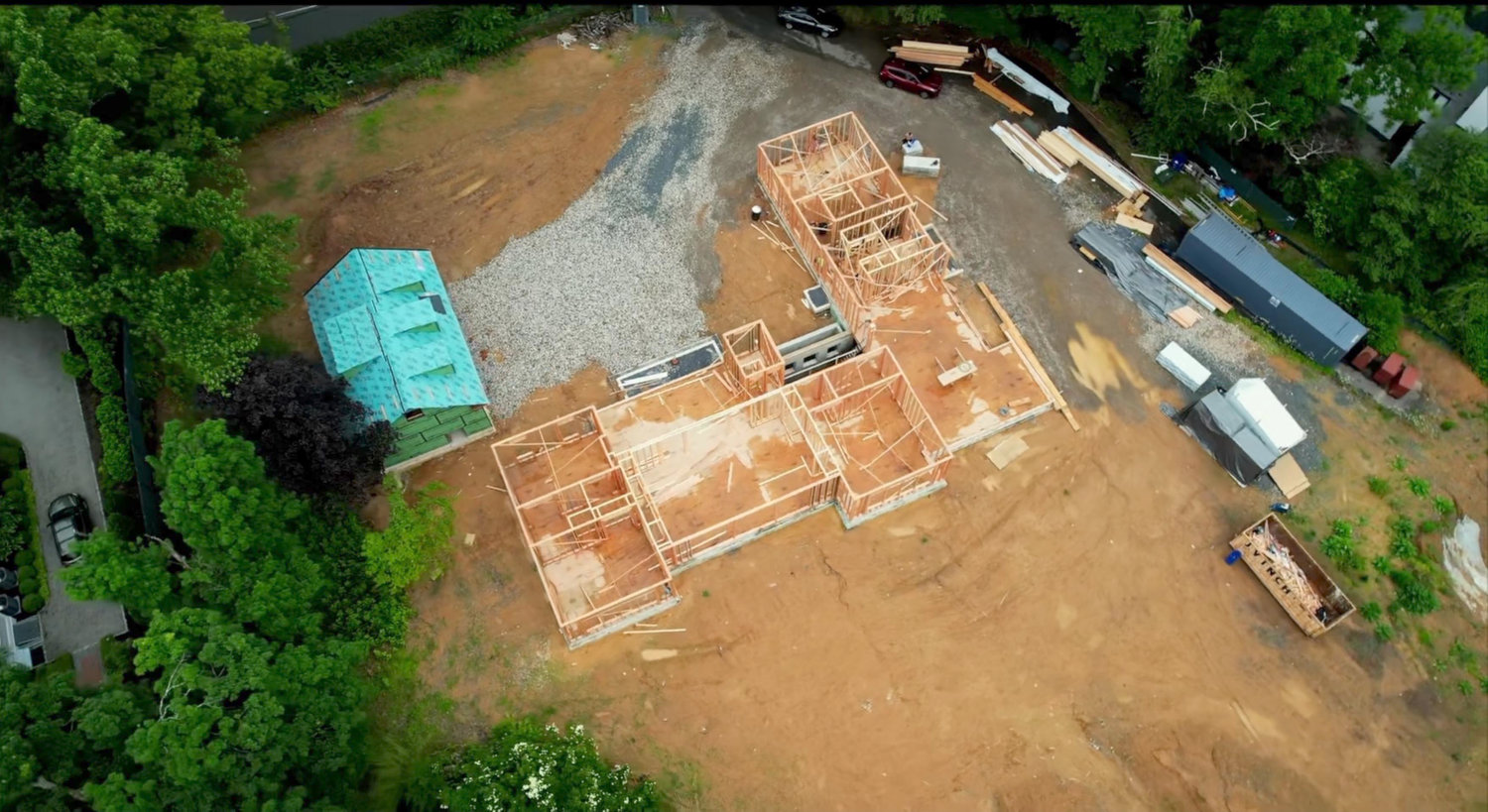
Whether you need to showcase a development, document progress, or perform aerial inspections, our Aerial & Drone Photography Services provide a stunning and comprehensive view of your project. High-quality aerial imagery enhances marketing materials, construction planning, and project monitoring—offering valuable insights and compelling visuals.
Your Solution for Professional Aerial Photography
At Image Up Studio, as an FAA-certified remote pilot, we specialize in capturing high and low-altitude aerial images using drones and aircraft. We ensure every shot is strategically composed to highlight key details, including surrounding infrastructure, landscape, and site progress.
Perfect for Many Industries
Our aerial photography services are ideal for:
How It Works
-
Consultation: We discuss your goals, timeline, and any project constraints.
-
Flight Coordination: We handle all logistics, including airspace permissions and safety regulations.
-
Capture & Delivery: Your images and videos are professionally edited and delivered in the format you need.
We also offer video services and digital imaging enhancements for marketing and presentation purposes.
CONTACT US
Aerial Mapping & Drone Services
See Your Project with Precision, From Above
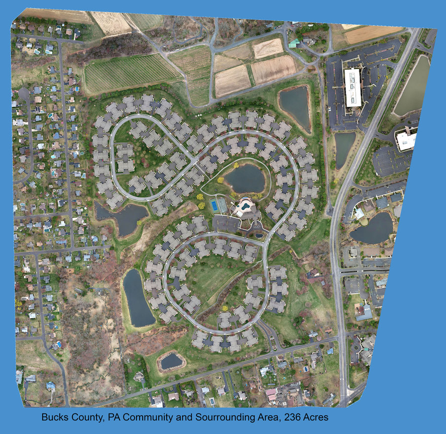
Managing a construction site, infrastructure project, or large-scale property requires precision. Aerial Mapping (also known as Drone Mapping or Orthomosaic Photography) provides high-resolution, geometrically accurate images that help you track progress, optimize efficiency, and improve safety—all while saving time and resources.
Why Aerial Mapping?
Traditional aerial photos offer a bird’s-eye view, but Aerial Mapping goes further—stitching together multiple high-resolution images to create detailed 2D maps and 3D models with exact overlays. This allows you to:
✅ Monitor project progress over time
✅ Identify site changes or potential issues before they become costly
✅ Enhance safety by inspecting hard-to-reach areas
✅ Integrate data with industry-standard software for detailed analysis